Carter Stilley Wetland and Stream Mitigation Bank
Carter Stilley Wetland and Stream Mitigation Bank
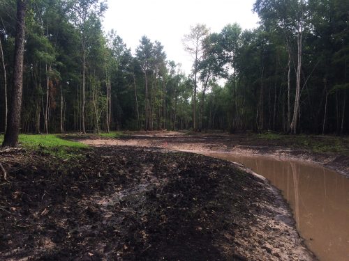
JMT (previously as Tidewater Environmental Services) provided permitting for a mitigation bank located on a 1,304-acre tract north of the Waccamaw River, directly abutting the South Carolina Department of Natural Resources (SCDNR) Waccamaw River Heritage Preserve. The 1,085-acre bank serves Horry and Georgetown counties and includes a 150-foot buffer around the wetland and stream resources. The entire tract was donated to the SCDNR and is now a part of the preserve to ensure that it is permanently protected.
JMT enhanced and restored approximately 8,467 LF of stream and 427 acres of wetlands, and preserved an additional 279 acres of wetlands. The team completed a wetland delineation and GPS survey of the entire tract in eight weeks, collected baseline data to support the overall design, and oversaw construction activities.
Designing a coastal stream system presented unique challenges because the streams are naturally wide, shallow systems with low slopes. We initiated design efforts by assessing the site and collecting sufficient data (topographic, hydrologic, etc.) to evaluate existing site conditions and support development of construction documents and permitting.
During the initial phases of this project, JMT also identified and collected data at two reference sites located in the coastal plain of South Carolina and initiated a review of literature and past projects to compile data. This information was used to develop the design criteria, verify the proposed monitoring plan and performance standards, and facilitate functional lift documentation. Based on the metrics derived through this effort, we developed a channel section, plan, and profile to support restoration. The team further refined the physical dimensions of the channel (section, plan, and profile) using analytical and computational methods to transpose the form-based metrics to site specific solutions for the Carter Stilley tract.


