Surveying Services
Topographic Surveys
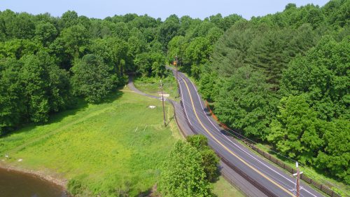
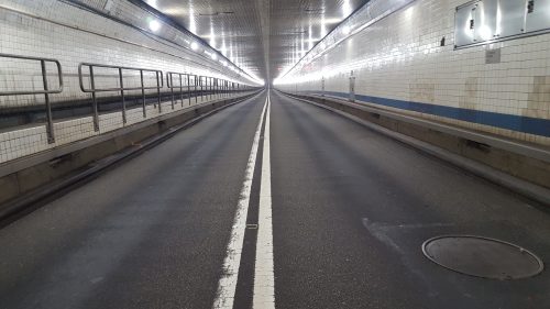
Today’s ever-changing technology requires flexibility in the collection of topographic surveys. Topographic surveys involve the data collection of three-dimensional data and subsequent generation of design files, triangle files, and digital terrain models. These services can be collected via conventional data collection with total stations and data collectors, or via real-time kinematic GPS surveys.
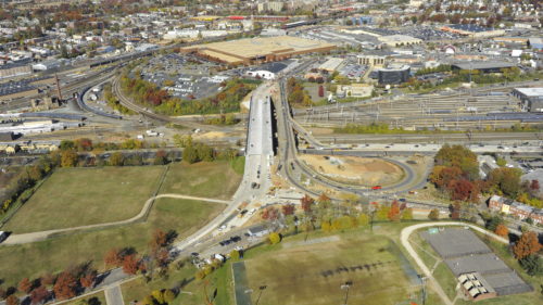
JMT offers extensive experience in providing topographic surveys and design map production using both formats for electronic data collection. By using various data collection programs, JMT generates design files in either Microstation or AutoCAD, with the appropriate digital terrain models. JMT is also able to adhere to specific CADD standards required by various public agencies, and is also able to input our data directly into specific GIS formats. JMT uses TDS Ranger, Carlson, and Allegro data collectors, as well as Leica and Topcon dual frequency GPS receivers. JMT also uses Network GPS, which allows for all our GPS receivers to act as rovers and collect topographic information, saving both time and cost. JMT’s topographic surveying experience includes supporting a wide variety of projects, including transportation corridor design and construction support by creating three-dimensional terrain models. The flexibility to provide design files in multiple CADD formats allows JMT to meet any specific client need.
Boundary Surveys and Plats
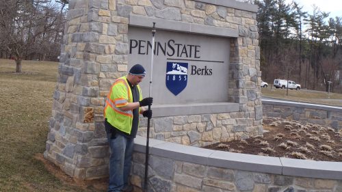
Boundary surveys and property surveys involve the reestablishment of existing right-of-way, easement, and property lines under the direction of a licensed land surveyor. These surveys are required for all types of land development, transportation projects, and building projects.
JMT technicians are well versed in all phases of deed and right-of-way research, using both courthouse and internet resources to gather existing title information, and the generation of property mosaics prior to performing property surveys. Upon completion of the research and mosaic, our field surveyors search and locate existing property monumentation and any other features indicating lines of possession. The existing boundary lines are then reestablished and a boundary plat produced per specific state standards. Upon completion of the boundary plat, monuments are placed at all corners where existing monumentation was not found.
JMT’s key to providing quality boundary surveys is an experienced staff with multiple licensed surveyors. Our surveyors are licensed in many states. We have the flexibility of providing multiple field crews, enabling rapid responses to client requests for all boundary surveying needs.
All property surveys adhere to the specific state standards, including field procedures, plat preparation and property corner monumentation.
Construction Stakeout
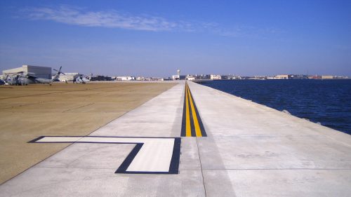
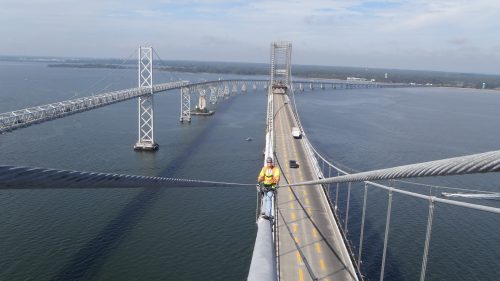
Construction stakeout involves the surveying and staking for various stages of construction, and can involve staking specific elements for roadways, bridges, buildings, and utilities. These elements can include curb and gutter, centerlines and base lines of roadways, building corners, storm and sewer lines, and a multitude of other items.
JMT can perform any type of construction stakeout required for your project. Using the flexibility of our data collectors, JMT party chiefs provide on-site survey control critical to site layout, and our survey technicians provide geometry and control worksheets in both Microstation and AutoCAD formats. Our staff includes project managers experienced in all types of construction projects, and the communication between the on-site construction manager and our professional land surveyors is the key to meeting the specific needs of the project. The close interaction between the office and field surveying staff provides for cost-efficient stakeout completed correctly and to the specifications of the construction.
JMT provides construction stakeout for all size projects, including small roadway and bridge projects, building additions and interchange stakeouts, and large-scale construction projects such as new stadiums and high-rise structures.