Drew Park Streetscape
Drew Park Streetscape
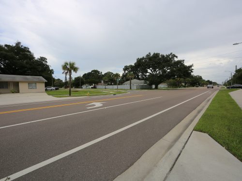
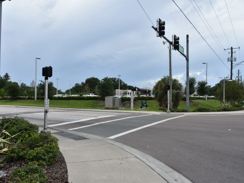
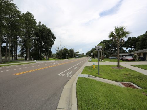
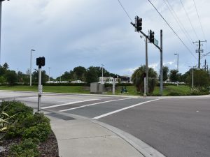
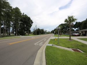
JMT provided design, permitting, and construction phase services for the streetscape along Grady Avenue; streetscape along Lois Avenue; Community Redevelopment Area gateways; and streetscape along Tampa Bay Boulevard west of Lois Avenue. We prepared the preliminary engineering report for roadway improvements and streetscape for Tampa Bay Boulevard between Lois Avenue and Dale Mabry Highway. A design survey was also completed for an upcoming park.
This project is a linear park along Tampa Bay Boulevard from Air Cargo Road to Lois Avenue, located within the Drew Park Community Redevelopment Area (CRA), east of Tampa International Airport, and west of Dale Mabry Highway. This area of Drew Park served as an airfield from the 1920s through the 1950s. The original entry road to the Drew Airfield remains as a large open space between the eastbound and westbound lanes of Tampa Bay Boulevard between Air Cargo Road and Lois Avenue.
The park was inspired by airport runway design in both plan and detail, featuring diagonal pathways, thematic wayfinding signage, and painted markings to reflect the unique aeronautic history of Drew Park. It will include the addition of a five-foot sidewalk along the north side of Tampa Bay Boulevard, which will provide connectivity from Air Cargo Road to Lois Avenue. There will be high visibility crosswalks added at Air Cargo Road, Hubert Avenue, and Lois Avenue to access the park within the median. The park will include a meandering eight-foot multi-purpose path for pedestrians and bicyclists with seating areas. A linear timeline complete with historical markers and monuments will be associated with walkways within the park. Decorative pedestrian lighting will be added to the sidewalk along the north side of the roadway as well as the multi-purpose path within the park.
