Arch Road Widening
Arch Road Widening
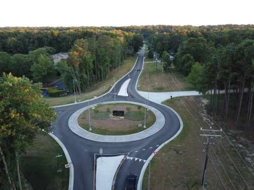
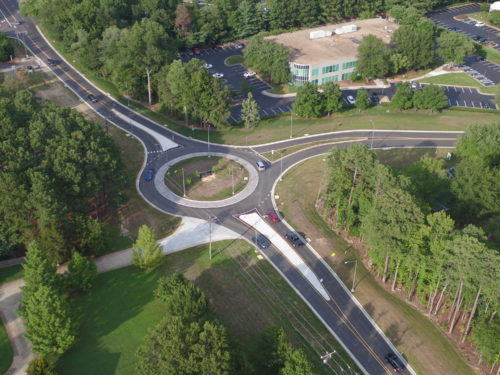
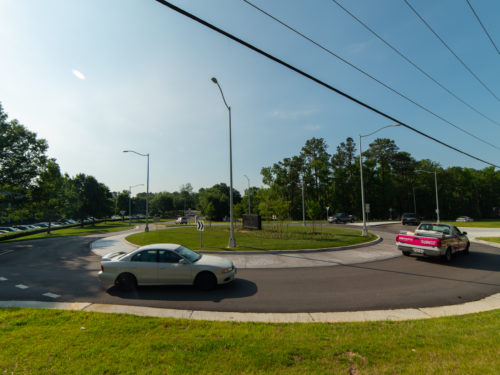
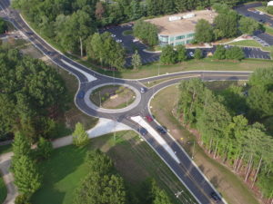
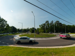
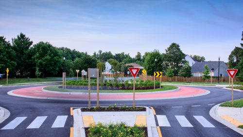
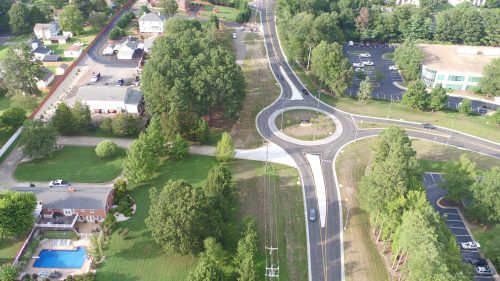
JMT developed the design, right-of-way, and construction plans for roadway improvements to approximately 1,500 LF of Arch Road. Improvements included widening the roadway from two to four lanes between Route 60 and Arboretum Parkway. Conceptual level design was developed for alternatives that included four-lane widening and a signal at the intersection with Arboretum Parkway, as well as a roundabout at this intersection.
The survey and subsurface utility engineering effort involved establishing project survey control using GPS, performing a LiDAR scan of the roadway and adjoining building faces, topographic mapping, drainage surveys with a pond as-built and geotechnical bore hole staking, property computations, wetlands surveys, utility records research, utility designation and locations (test holes), and right-of-way acquisition platting for the 0.9-mile-long corridor.
Portions of the water line running along Arch Road were non-detectable, asbestos-coated pipe. JMT used ground penetrating radar to identify the horizontal location of the non-detectable pipe. Test holes later confirmed the horizontal location and allowed conflicts to be resolved by the engineers.
Additional services included utility coordination, geotechnical investigations and analysis, environmental services, traffic engineering and analysis, roadway design, drainage design (including stormwater management), public utility (water) design, private utility coordination, engineer’s construction estimates, preconstruction administration, and construction administration.
