Upper Macungie Comprehensive Plan Update
Upper Macungie Comprehensive Plan Update


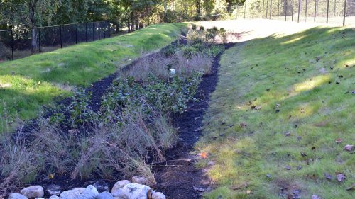
JMT worked collaboratively with Township staff to identify buildout, planning scenarios, and fiscal analysis data and methods to support development of a future land use map, policy, strategies, and recommended design standards. Additionally, JMT evaluated open space, permanently preserved land, riparian buffers, overhead utility easements, sanitary sewer easements, and roadways for on- and off-road pedestrian and bicycle connections.
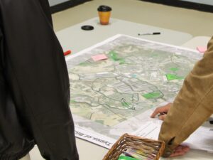
JMT used multiple public outreach tools, including charettes, public surveys, stakeholder interviews, and committee coordination/involvement. Mapping and graphics were created to support public meetings and discussions with community stakeholders. Additionally, staff used ESRI Story Maps to offer a dynamic, online tool for plan review and public engagement. The online plan was supported by traditional documents with staff trained to track and monitor performance measures to determine success and impacts of plan implementation and to maintain and update the online plan to keep the document dynamic and easily accessible to the public.